DE
FR
IT
EN
Telefonbuch
Wetter
Karte / Route
Fahrplan
Freizeit
TV
Kino
Websuche
Apps
Mehr
Persönliche Informationen »
Anmelden:
Registrieren
Passwort vergessen
oder
Anmelden mit local.ch
Anmelden mit Apple
Anmelden mit Facebook
Anmelden mit Google
Anmelden mit LinkedIn
Bitte beachten Sie, dass unsere neue
Datenschutzerklärung
sowie die angepassten
Nutzungsbedingungen
gelten.
Freizeit
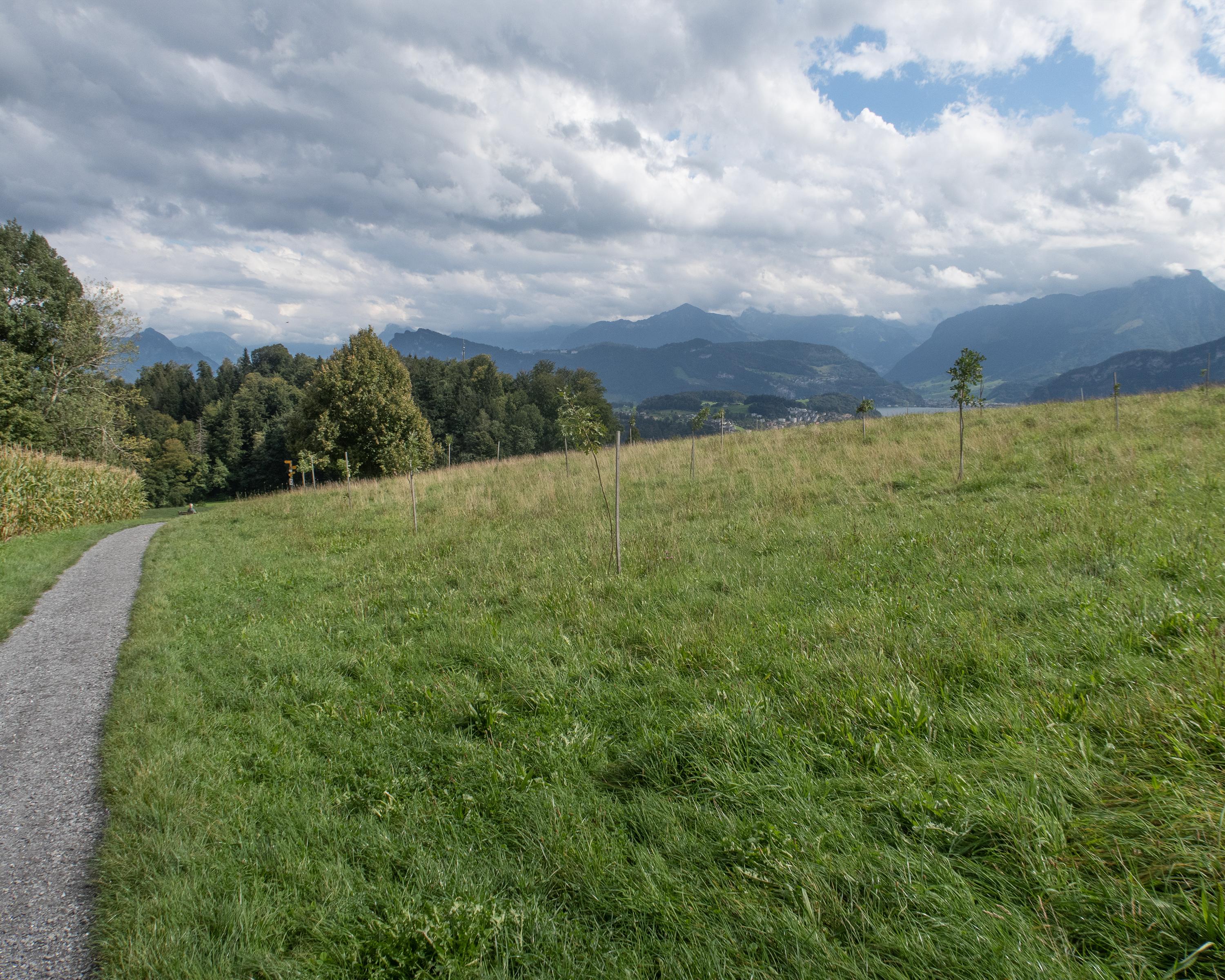
Wanderung in Zugersee
Alpenpanorama-Weg, Etappe 11/29
Nationale Route Nr. 3, Etappe 11: Luzern – Malters
Beschreibung
Nationale Route
Nr. 3 (Rorschach – Genève)
Länge
13 km
Aufstieg • Abstieg
↑ 490 m • ↓ 430 m
Tiefster Punkt • Höchster Punkt
434 m • 799 m
Wanderzeit
3 h 45 min
Technik
leicht
Kondition
mittel
Nationale Route Nr. 3:
Alpenpanorama-Weg
Etappen
1. Rorschach – Trogen
2. Trogen – Appenzell
3. Appenzell – Schwägalp
4. Schwägalp – Stein SG
5. Stein SG – Amden
6. Amden – Siebnen
7. Siebnen – Einsiedeln
8. Einsiedeln – Unterägeri
9. Unterägeri – Zug
10. Zug – Luzern
11. Luzern – Malters
12. Malters – Wolhusen
13. Wolhusen – Napf
14. Napf – Lüderenalp
15. Lüderenalp – Moosegg
16. Moosegg – Münsingen
17. Münsingen – Rüeggisberg
18. Rüeggisberg – Guggisberg
19. Guggisberg – Schwarzsee
20. Schwarzsee – Jaun
21. Jaun – Gruyères
22. Gruyères – Les Paccots
23. Les Paccots – Vevey (Corseaux)
24. Vevey (Corseaux) – Lausanne
25. Lausanne – Morges
26. Morges – Aubonne
27. Aubonne – Nyon
28. Nyon – Bogis-Bossey
29. Bogis-Bossey – Genève
Vom Sonnenberg lassen sich Luzern und seine Aussengemeinden trefflich überblicken. Einblick in die Geologie der Region bietet sodann die Ränggschlucht. Auf dem letzten Teilstück bis Malters wandelt man auf den Spuren des heiligen Jakobus.
Anmerkungen zu diesen Informationen?
Wir freuen uns über Ihr Feedback!
Präsentiert von
Route
Höhenprofil
Wetter:
Mehr...
Anmerkungen zu dieser Aktivität oder diesem Ort?
Falsche Angaben
Fehlende Informationen
Anderes Thema
Vielen Dank für dein Feedback!
Schliessen