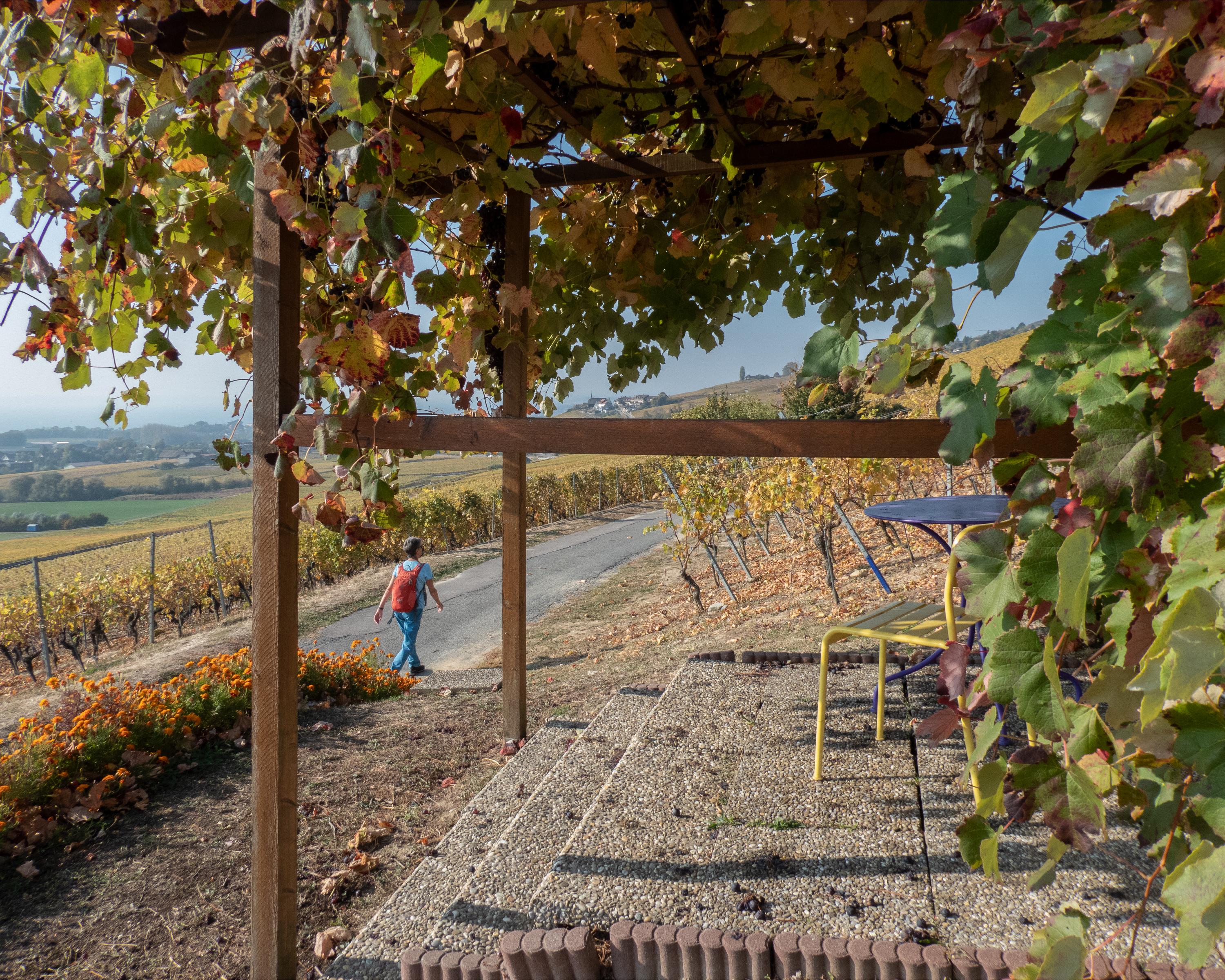
search.ch

Alpine Panorama Trail, Stage 27/29

National route No. 3, Stage 27: Aubonne – Nyon
  • Image 1

Description

National route
No. 3 (Rorschach – Genève)
Length
30 km
Ascent • Descent
↑ 540 m • ↓ 640 m
Lowest point • Highest point
374 m • 612 m
Hiking time
7 h 30 min
Grade
easy
Fitness level
difficult
National route No. 3: Alpine Panorama Trail
Stages
1. Rorschach – Trogen
2. Trogen – Appenzell
3. Appenzell – Schwägalp
4. Schwägalp – Stein SG
5. Stein SG – Amden
6. Amden – Siebnen
7. Siebnen – Einsiedeln
8. Einsiedeln – Unterägeri
9. Unterägeri – Zug
10. Zug – Luzern
11. Luzern – Malters
12. Malters – Wolhusen
13. Wolhusen – Napf
14. Napf – Lüderenalp
15. Lüderenalp – Moosegg
16. Moosegg – Münsingen
17. Münsingen – Rüeggisberg
18. Rüeggisberg – Guggisberg
19. Guggisberg – Schwarzsee
20. Schwarzsee – Jaun
21. Jaun – Gruyères
22. Gruyères – Les Paccots
23. Les Paccots – Vevey (Corseaux)
24. Vevey (Corseaux) – Lausanne
25. Lausanne – Morges
26. Morges – Aubonne
27. Aubonne – Nyon
28. Nyon – Bogis-Bossey
29. Bogis-Bossey – Genève
A morning of lovely views through the vineyards and wine villages of the Vaud La Côte region, a shady afternoon along the TobleroneTrail on the Serine stream (a former tank trap) and in the evening a visit to Prangin Castle and the medieval city of Nyon.

Height profile

Weather:

Comments about this activity or place?

Thank you for your feedback!