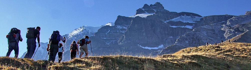
search.ch

Via Alpina, Stage 14/20

National route No. 1, Stage 14: Kandersteg – Adelboden
  • Image 1

Description

National route
No. 1 (Vaduz – Montreux)
Length
16 km
Ascent • Descent
↑ 1400 m • ↓ 1250 m
Lowest point • Highest point
1171 m • 2382 m
Hiking time
6 h 45 min
Grade
medium
Fitness level
difficult
National route No. 1: Via Alpina
Stages
1. Vaduz (Gaflei, FL) – Sargans
2. Sargans – Weisstannen
3. Weisstannen – Elm
4. Elm – Linthal
5. Linthal – Urner Boden
6. Urner Boden – Altdorf (UR)
7. Altdorf (UR) – Engelberg
8. Engelberg – Engstlenalp
9. Engstlenalp – Meiringen
10. Meiringen – Grindelwald
11. Grindelwald – Lauterbrunnen
12. Lauterbrunnen – Griesalp
13. Griesalp – Kandersteg
14. Kandersteg – Adelboden
15. Adelboden – Lenk
16. Lenk – Gstaad
17. Gstaad – L'Etivaz
18. L'Etivaz – Rossinière
19. Rossinière – Rochers de Naye
20. Rochers de Naye – Montreux
From Kandersteg’s traditional wooden chalets over flower-filled Alpine pastures towards the rock walls of the Lohner, a firm favourite with chamois. Over numerous steep sections to reach the Bunderchrinde, the breathtaking pass into Engstligental, and on to Adelboden.

Height profile

Weather:

Comments about this activity or place?

Thank you for your feedback!