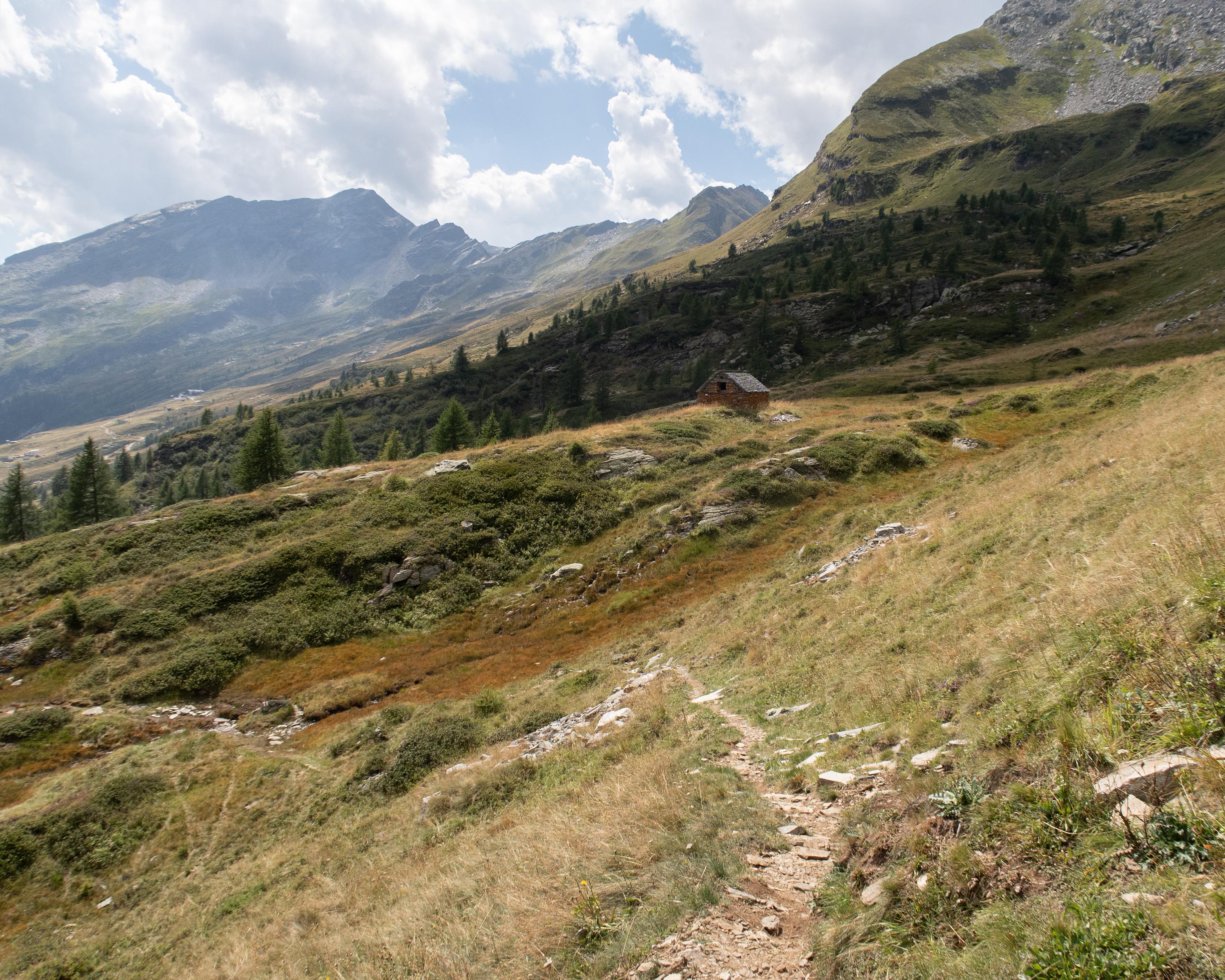
Vom Talboden bei Fondovalle auf schmalem Pfad hinauf durch den wilden Bergwald und dann über Alpwiesen. In einer Geländemulde überrascht der tiefblaue Lago Superiore. Durch eine Blocklandschaft geht es hoch zum Gebirgspass Hendar Furggu und in sanfterem Abstieg über Alpweiden und durch lichten Wald nach Bosco Gurin, dem einzigen Walserdorf im Tessin.

..Bosco+Gurin&freizeit=1&noweather=1&width=400&height=200&x_axis_display=distance&polyline=ghgh%40i%7BiGooA%3FhEt%40%3FcGoCzKDuLeAt%40DyAeAzEBqFkEfCF%7DGuAjLLsLArBAuB%7DA%7EFAcH%7BAlD%40cEHpEHgFwBlHFkJJjC%40kC%7D%40hRHmRd%40vFB%7BFw%40vEF%7DE%7DA%60E%3FwE%7B%40fM%40mM%5BrCFuCq%40fCBqCP%60LCaLh%40nCLuChBdGF%7BGhEjJD_Lv%40vM%3F%7BMu%40zBEgClFtKPuMlBlID_JzApD%3FgEeC%60AA%7DCuAbE%3F%7BF_DlEm%40iGc%40xKiA%7DKrAtACwBsDbEqCwGkDtBqAwEqChEqAmGgF%60AcCaGcFF%7BAqF%7BDj%40yAwF%7BCgBm%40yFqFX%7B%40%7DFwENaAcGuEHy%40_GcF%40uAgGmGXaCuHoDfAyAcEsFbAmBkGcE%7CAiAyF%7BEy%40yA%7BFyFMu%40aGsDn%40eA_GsEn%40oAoGuEv%40_AuF%60CvCC%7BFbFpAE%7BFoBhAkAkGiEnAcBaGmFa%40q%40%7BFaF_AM%7BFuEPq%40%7DFsBO_A_G%7DE%5CoBaG%7DFYy%40eGgEuAQoGgDsBvAoFcFd%40b%40%7BF%7DDnCj%40cGsEnB%60%40_GoElBd%40%7DFwDtBp%40aGwEnAvAeGwEb%40lA_GsFc%40L_GiFhAj%40_GsFPx%40%7BFwDhCh%40iGBtDfAyFkC%60El%40gGpBdCdA%7BF_ClEp%40aGaBdEjA%7DFiEfCjA%7DFcErB%7CAaGoDbBv%40aGiDtB%60%40%7BFgCpDtAqG_B%60ExAsFoC%7CDnA%7DFaDlDfAaGmBbEdAeGoBzE%7E%40eGqEv%40n%40wFu%40vDh%40%7BFyAp%40%5CeGnFtAPcGMpFDeGxBpBXoF)