Hindernisfreier Weg Nr. 446, Etappe 6: Burgdorf – Hasle-Rüegsau
Beschreibung
Hindernisfreier Weg
Nr. 446
Länge
7 km
Aufstieg • Abstieg
↑ 60 m • ↓ 20 m
Tiefster Punkt • Höchster Punkt
530 m • 572 m
Wanderzeit
1 h 40 min
Technik
mittel
Kondition
leicht
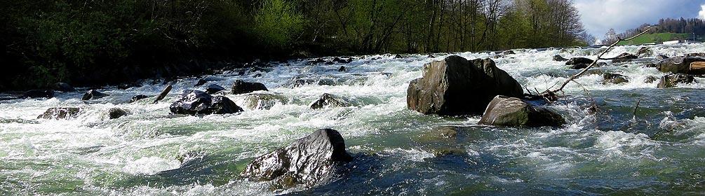
Dieser beliebte Wander- und Veloweg beginnt in Burgdorf und erstreckt sich durchgehend entlang der Emme bis nach Hasle bei Burgdorf. Die Route ist ideal zum Kraft tanken und zur puren Erholung in wunderschöner Umgebung.