DE
FR
IT
EN
Telefonbuch
Wetter
Karte / Route
Fahrplan
Freizeit
TV
Kino
Websuche
Apps
Mehr
Persönliche Informationen »
Anmelden:
Registrieren
Passwort vergessen
oder
Anmelden mit local.ch
Anmelden mit Apple
Anmelden mit Facebook
Anmelden mit Google
Anmelden mit LinkedIn
Bitte beachten Sie, dass unsere neue
Datenschutzerklärung
sowie die angepassten
Nutzungsbedingungen
gelten.
Freizeit
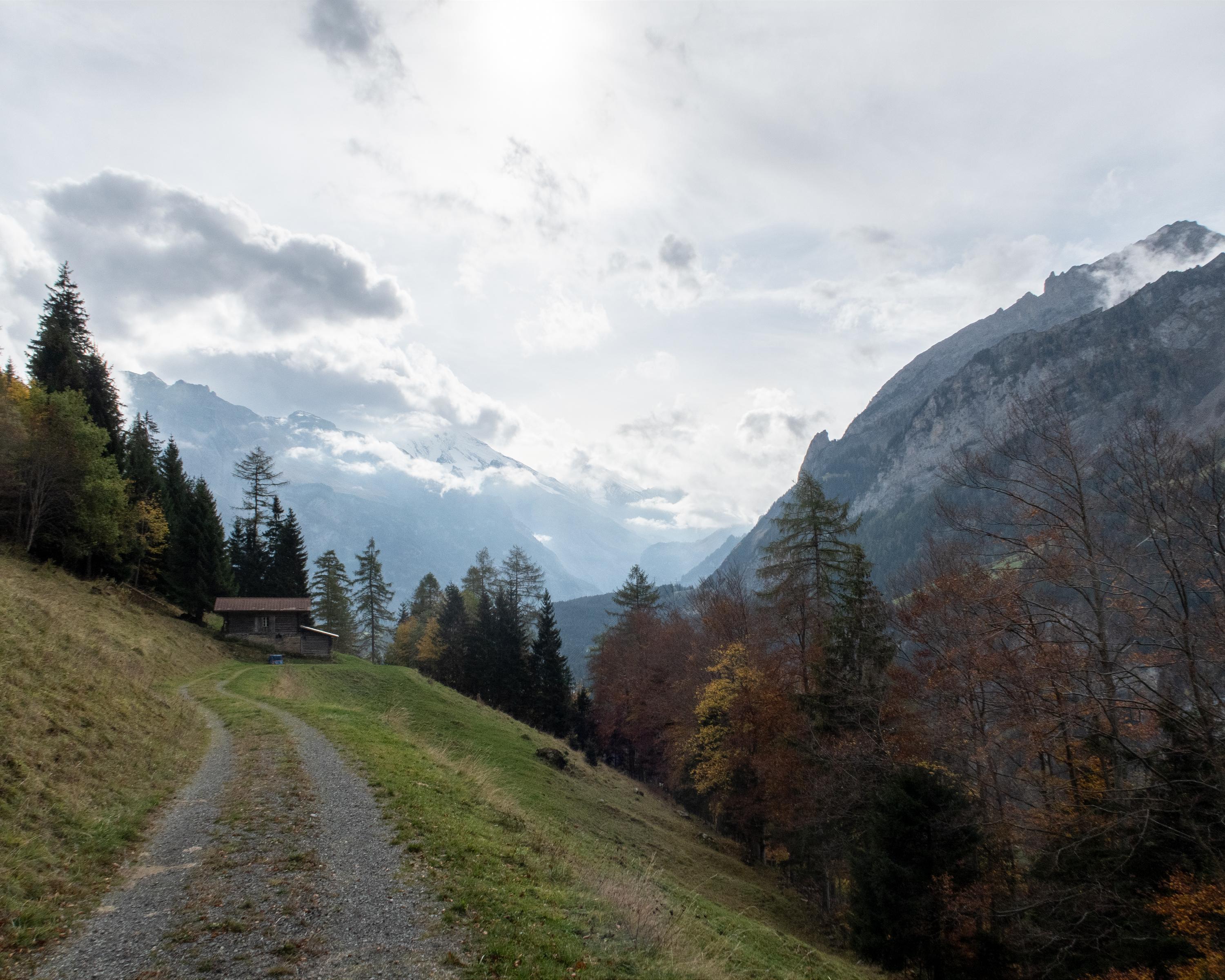
Wanderung in Kiental
Lötschberg-Panoramaweg, Etappe 1/4
Regionale Route Nr. 56, Etappe 1: Kiental – Kandersteg
Beschreibung
Regionale Route
Nr. 56 (Kiental – Fafleralp)
Länge
20 km
Aufstieg • Abstieg
↑ 1150 m • ↓ 950 m
Tiefster Punkt • Höchster Punkt
925 m • 1564 m
Wanderzeit
6 h 35 min
Technik
mittel
Kondition
schwer
Regionale Route Nr. 56:
Lötschberg-Panoramaweg
Etappen
1. Kiental – Kandersteg
2. Kandersteg – Selden
3. Selden – Lauchernalp
4. Lauchernalp – Fafleralp
Voralpiner Höhenweg vom Kiental nach Kandersteg. Der Weg führt hoch über dem Kandertal durch Wälder und über Alpweiden; herrliche Tiefblicke zu den Zügen der Lötschbergbahn, die, einer Modelleisenbahn gleich, durchs Kandertal rollen.
Anmerkungen zu diesen Informationen?
Wir freuen uns über Ihr Feedback!
Präsentiert von
Route
Höhenprofil
Wetter:
Mehr...
Anmerkungen zu dieser Aktivität oder diesem Ort?
Falsche Angaben
Fehlende Informationen
Anderes Thema
Vielen Dank für dein Feedback!
Schliessen