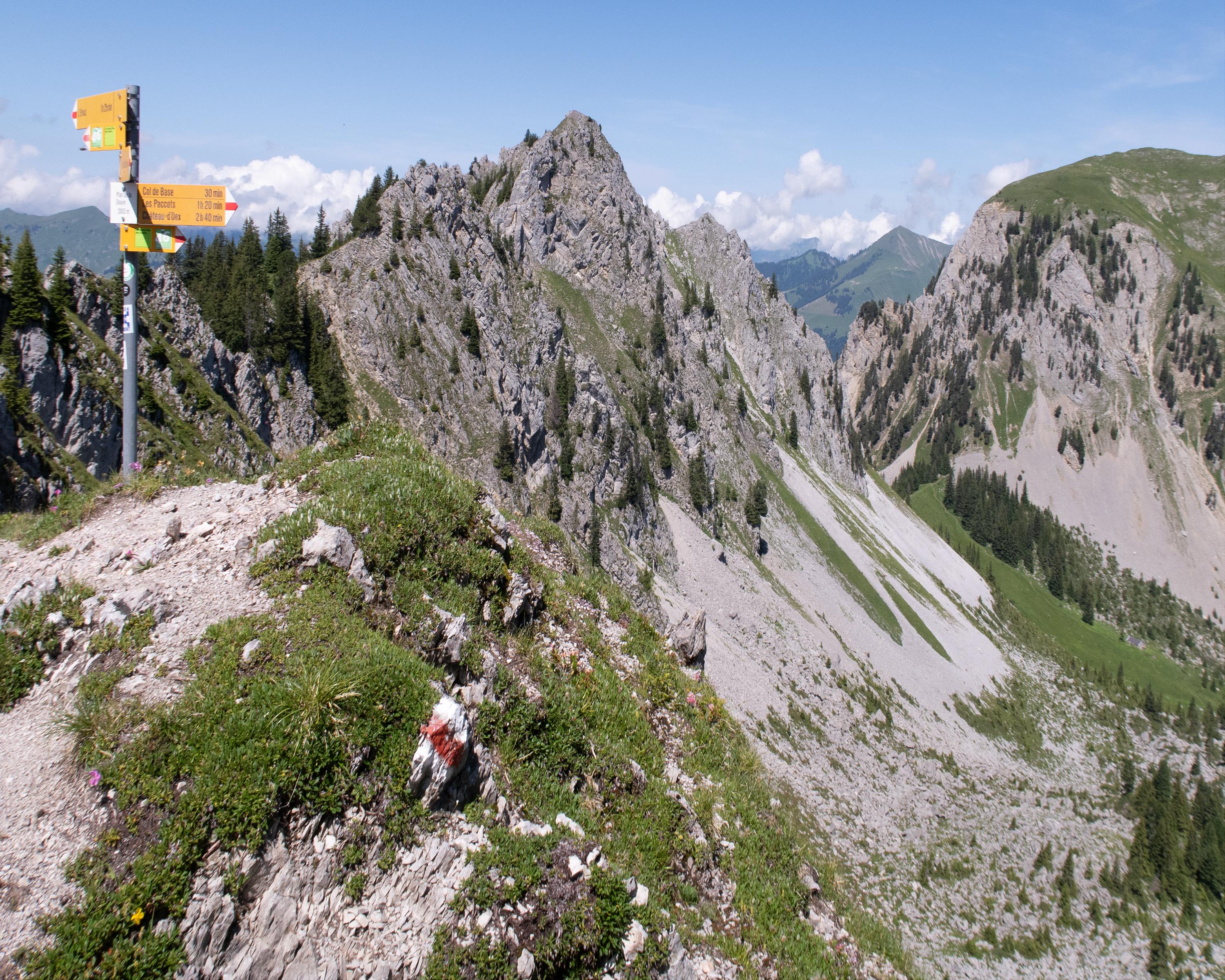
search.ch

Tour des Alpes Vaudoises, Stage 4/8

Regional route No. 46, Stage 4: Château-d'Oex – L'Etivaz
  • Image 1

Description

Regional route
No. 46 (Aigle – Aigle)
Length
14 km
Ascent • Descent
↑ 1200 m • ↓ 1000 m
Lowest point • Highest point
901 m • 2007 m
Hiking time
5 h 30 min
Grade
medium
Fitness level
difficult
Regional route No. 46: Tour des Alpes Vaudoises
Stages
1. Aigle – Leysin
2. Leysin – Les Mosses
3. Les Mosses – Château-d’Oex
4. Château-d'Oex – L'Etivaz
5. L’Etivaz – Les Diablerets
6. Les Diablerets – Villars-sur-Ollon
7. Villars-sur-Ollon – Gryon
8. Gryon – Aigle
Setting off from the hot air balloon Mecca of Château-d’Oex, you will walk along the river Saane to Gérignoz. There is a steep climb up to the nature conservation area of La Pierreuse. Surrounded by eroded mountain peaks, you will walk to the highest point at 2,000 metres. After that comes a steep descent to L’Etivaz.

Height profile

Weather:

Comments about this activity or place?

Thank you for your feedback!