DE
FR
IT
EN
Telefonbuch
Wetter
Karte / Route
Fahrplan
Freizeit
TV
Kino
Websuche
Apps
Mehr
Persönliche Informationen »
Anmelden:
Registrieren
Passwort vergessen
oder
Anmelden mit local.ch
Anmelden mit Apple
Anmelden mit Facebook
Anmelden mit Google
Anmelden mit LinkedIn
Bitte beachten Sie, dass unsere neue
Datenschutzerklärung
sowie die angepassten
Nutzungsbedingungen
gelten.
Freizeit
Velofahren in Bellinzona
Nord-Süd-Route, Etappe 7/8
Nationale Route Nr. 3, Etappe 7: Bellinzona – Agno
Beschreibung
Nationale Route
Nr. 3 (Basel – Chiasso)
Länge
37 km
Aufstieg • Abstieg
↑ 480 m • ↓ 420 m
Tiefster Punkt • Höchster Punkt
206 m • 556 m
Kondition
mittel
Nationale Route Nr. 3:
Nord-Süd-Route
Etappen
1. Basel – Aarau
2. Aarau – Luzern
3. Luzern – Flüelen
4. Flüelen – Andermatt
5. Andermatt – Airolo
6. Airolo – Bellinzona
7. Bellinzona – Agno
8. Agno – Chiasso
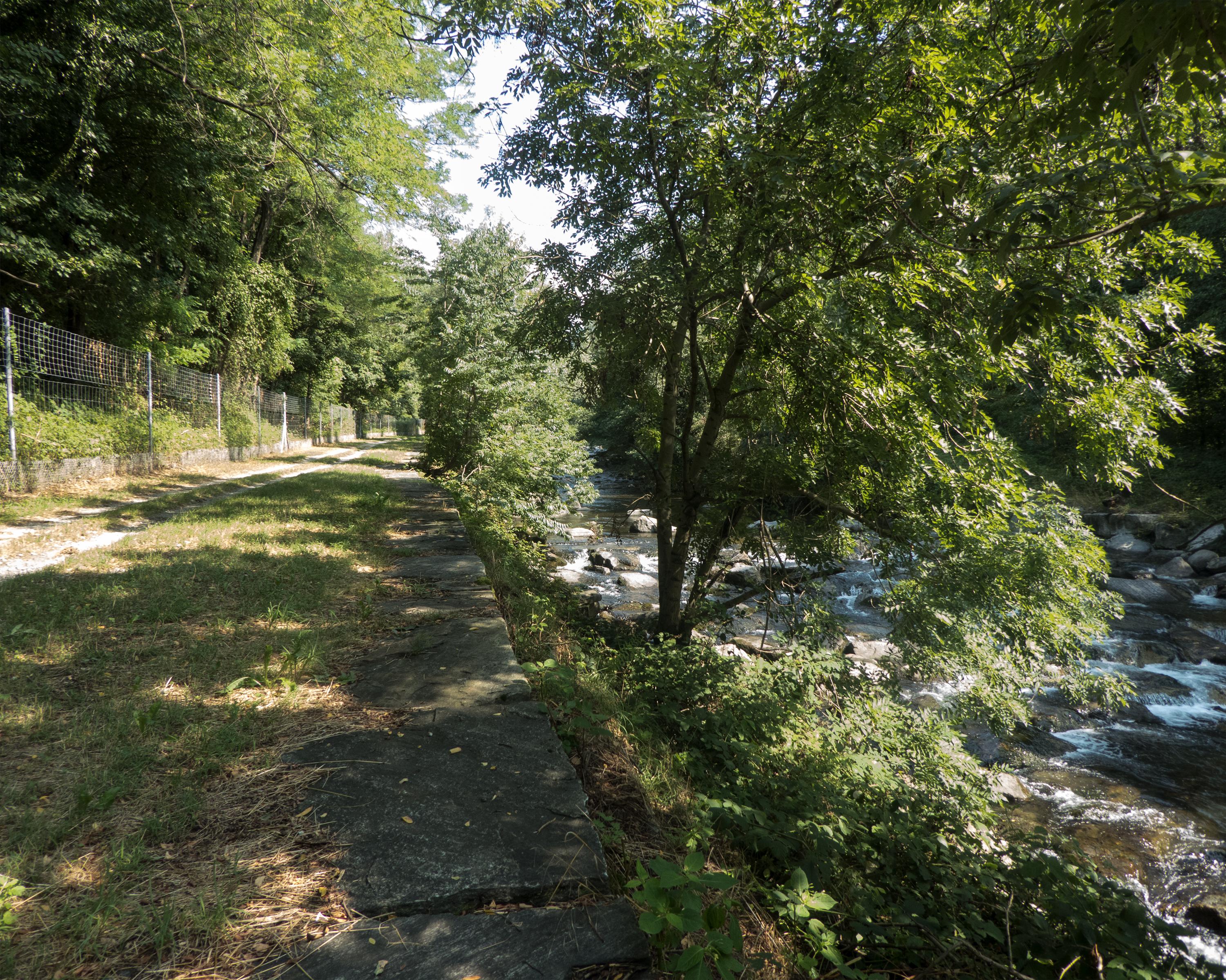
Im Aufstieg zum Monte Ceneri ein lichter Blick auf den Gemüsegarten des Piano di Magadino und den Lago Maggiore. Vedeggio, ein verschupftes Flüsschen im geschäftigen Tal, wo der Flugplatz und das nahe Lugano den Ton angibt.
Anmerkungen zu diesen Informationen?
Wir freuen uns über Ihr Feedback!
Präsentiert von
Route
Höhenprofil
Wetter:
Mehr...
Anmerkungen zu dieser Aktivität oder diesem Ort?
Falsche Angaben
Fehlende Informationen
Anderes Thema
Vielen Dank für dein Feedback!
Schliessen