DE
FR
IT
EN
Telefonbuch
Wetter
Karte / Route
Fahrplan
Freizeit
TV
Kino
Websuche
Apps
Mehr
Persönliche Informationen »
Anmelden:
Registrieren
Passwort vergessen
oder
Anmelden mit local.ch
Anmelden mit Apple
Anmelden mit Facebook
Anmelden mit Google
Anmelden mit LinkedIn
Bitte beachten Sie, dass unsere neue
Datenschutzerklärung
sowie die angepassten
Nutzungsbedingungen
gelten.
Freizeit
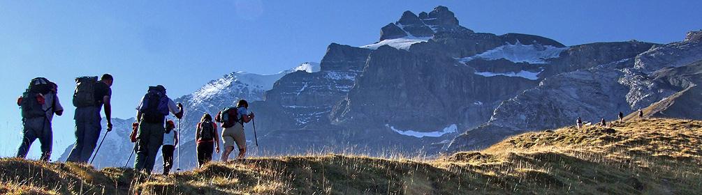
Wanderung in Berner Oberland
Via Alpina
Nationale Route Nr. 1, Griesalp–Kandersteg
Beschreibung
Nationale Route
Nr. 1 (Griesalp–Kandersteg)
Länge
17 km
Aufstieg • Abstieg
↑ 1450 m • ↓ 1700 m
Tiefster Punkt • Höchster Punkt
1171 m • 2779 m
Wanderzeit
7 h 10 min
Technik
mittel (Bergwanderweg)
Kondition
schwer
Königsetappe über das 2778m hohe Hohtürli. Lohnender Abstecher zur Blümlisalphütte und dem ewigen Gletschereis. Über Moränen bergab zum tiefblauen, spektakulären Oeschinensee, einem der schönsten Bergseen der Alpen, umgeben von steilen Felswänden.
Anmerkungen zu diesen Informationen?
Wir freuen uns über Ihr Feedback!
Präsentiert von
Route
Höhenprofil
Wetter:
Mehr...
Anmerkungen zu dieser Aktivität oder diesem Ort?
Falsche Angaben
Fehlende Informationen
Anderes Thema
Vielen Dank für dein Feedback!
Schliessen