Lokale Route Nr. 484, Etappe 4: Welschenrohr – Welschenrohr
Beschreibung
Lokale Route
Nr. 484
Länge
13 km
Aufstieg • Abstieg
↑ 860 m • ↓ 860 m
Tiefster Punkt • Höchster Punkt
598 m • 1178 m
Wanderzeit
4 h 40 min
Technik
leicht
Kondition
mittel
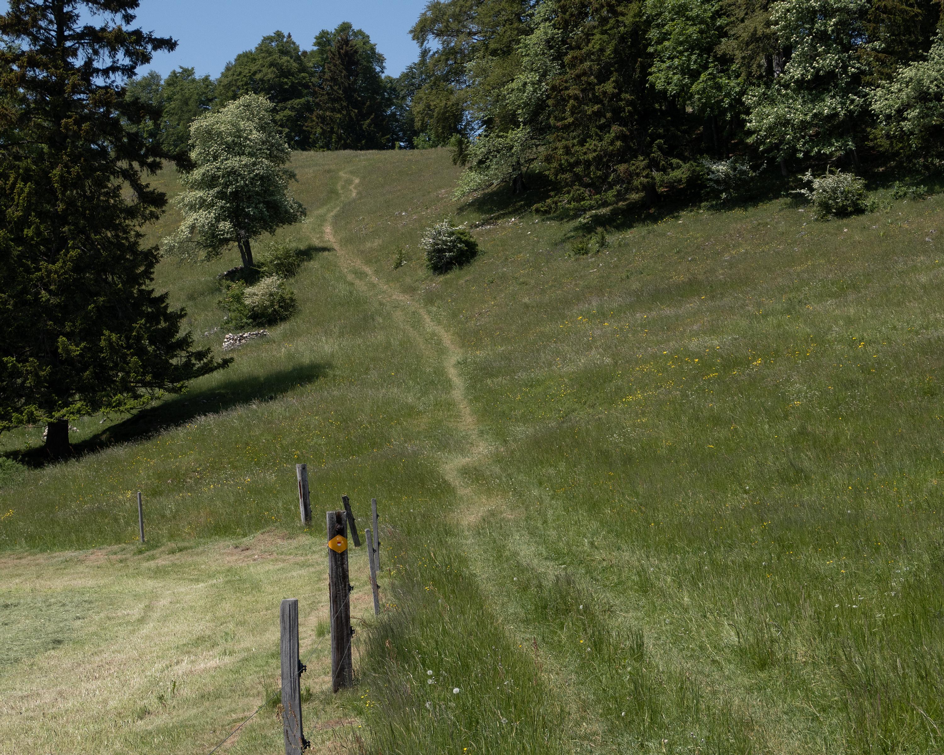
Auf dieser Rundtour erlebt man die verschiedenen Gesichter des Naturparks Thal. Die Route beginnt mit dem Aufstieg durch die wunderschöne Wolfsschlucht und setzt sich auf den luftigen Höhen der zweiten Jurakette fort.