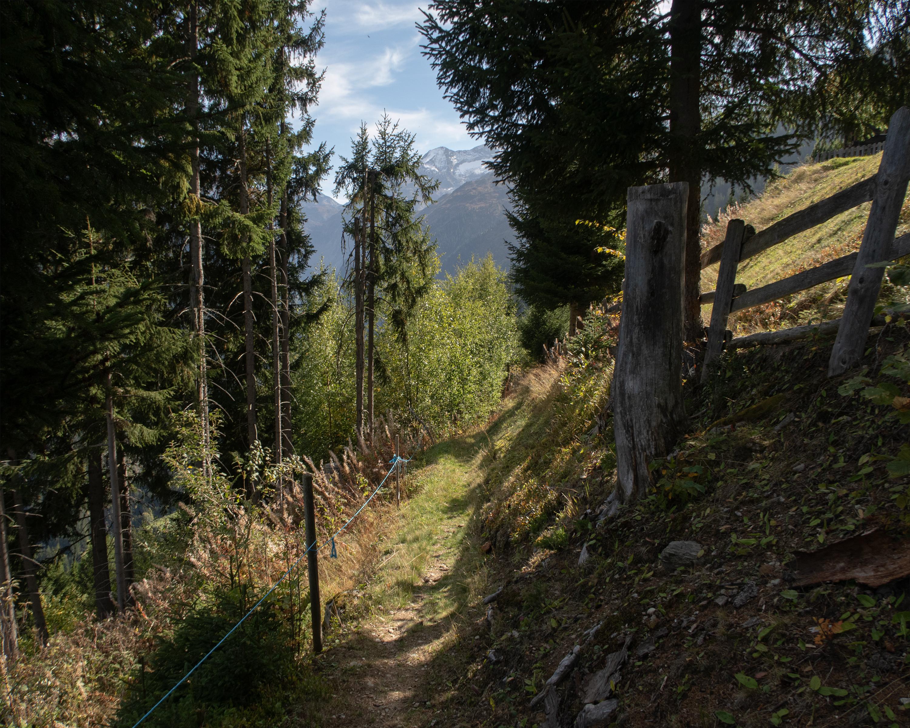
search.ch

Walserweg Gottardo, Stage 13/14

Regional route No. 62, Stage 13: Curaglia – Sumvitg, Val
  • Image 1

Description

Regional route
No. 62 (Binn – Obersaxen, St. Martin)
Length
16 km
Ascent • Descent
↑ 1300 m • ↓ 1400 m
Lowest point • Highest point
1208 m • 2180 m
Hiking time
6 h 40 min
Grade
medium
Fitness level
difficult
Regional route No. 62: Walserweg Gottardo
Stages
1. Binn – Crampiolo (I)
2. Crampiolo (I) – Salècchio (I)
3. Salècchio (I) – Lago Vanninio/Margaroli (I)
4. Lago Vanninio/Margaroli (I) – Ponte Formazza (I)
5. Ponte Formazza (I) – Bosco Gurin
6. Bosco Gurin – Bignasco
7. Bignasco – Robiei
8. Robiei – Bedretto
9. Bedretto – Passo San Gottardo
10. Passo San Gottardo – Andermatt
11. Andermatt – Oberalppass
12. Oberalppass – Curaglia
13. Curaglia – Sumvitg, Val
14. Sumvitg, Val – Obersaxen, St. Martin
Steep climb through a gorge and to the heights of Alp Soliva. High above the valley floor with superb views of Disentis and the Surselva, the path winds through torrent gorges, and across alpine meadows to the idyllic Lag da Laus. Finally, there follows the long descent to Val, located in a quiet side valley of the Surselva.

Height profile

Weather:

Comments about this activity or place?

Thank you for your feedback!