DE
FR
IT
EN
Telefonbuch
Wetter
Karte / Route
Fahrplan
Freizeit
TV
Kino
Schnee
Websuche
Apps
Mehr
Persönliche Informationen »
Anmelden:
Registrieren
Passwort vergessen
oder
Anmelden mit local.ch
Anmelden mit Apple
Anmelden mit Facebook
Anmelden mit Google
Anmelden mit LinkedIn
Bitte beachten Sie, dass unsere neue
Datenschutzerklärung
sowie die angepassten
Nutzungsbedingungen
gelten.
Freizeit
Velofahren in Glarus
Alpine Panorama Route, Stage 3/9
Nationale Route Nr. 4, Etappe 3: Glarus – Flüelen
Beschreibung
Nationale Route
Nr. 4 (St. Margrethen – Aigle)
Länge
68 km
Aufstieg • Abstieg
↑ 1600 m • ↓ 1650 m
Tiefster Punkt • Höchster Punkt
433 m • 1948 m
Kondition
schwer
Nationale Route Nr. 4:
Alpenpanorama-Route
Etappen
0. Sörenberg – Thun
0. Appenzell – Glarus
0. St. Margrethen – Appenzell
0. Glarus – Flüelen
0. Flüelen – Sörenberg
0. Variante Sörenberg – Schangnau
0. Thun – Fribourg
0. Fribourg – Montbovon
0. Montbovon – Aigle
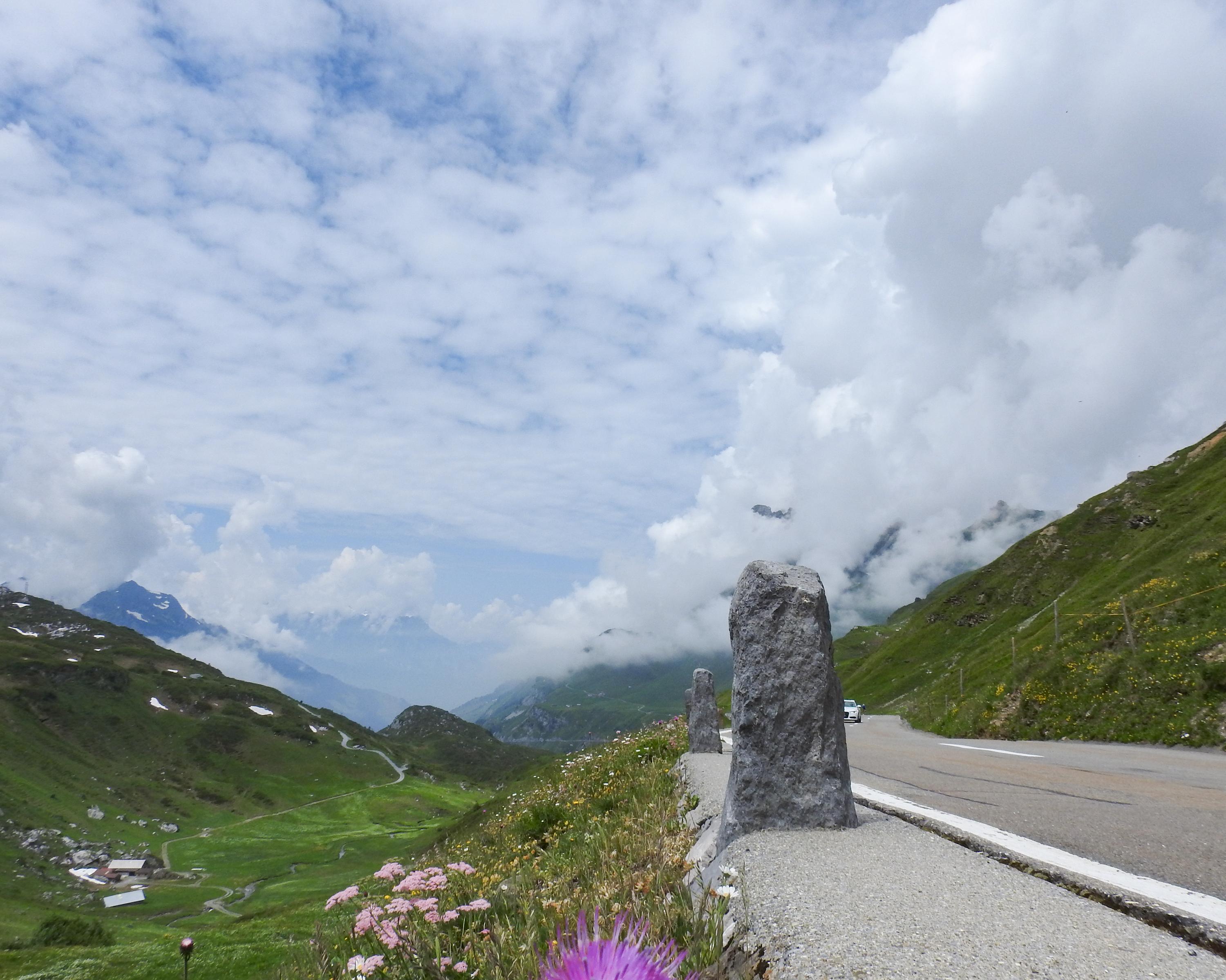
On the climb to the Klausenpass, the Urnerboden, the largest Swiss alp, the other side of the 1948m pass the Schächental, a mountain landscape with the traditional farming method of moving livestock from one grazing ground to the next.
Anmerkungen zu diesen Informationen?
Wir freuen uns über Ihr Feedback!
Präsentiert von
Route
Höhenprofil
Wetter:
Mehr...
Anmerkungen zu dieser Aktivität oder diesem Ort?
Falsche Angaben
Fehlende Informationen
Anderes Thema
Vielen Dank für dein Feedback!
Schliessen